
Subsurface
Utility Locating
Subsurface Utility Locating involves investigating buried utilities to identify possible conflicts in a project design to mitigate associated risks.


Sample Projects
Howard Hughes Corporation | Conference Center Resort & Golf Course | The Woodlands, TX
Level QL: A-D
AT&T | US 59 | Cleveland to Sheppard, TX
Level QL: B-D
The Woodlands Conference Center & Resort | The Woodlands Township | The Woodlands, TX
Level QL: A-D
AT&T | FM 1488 | Montgomery County, TX
Level QL: A-D
Levels of Subsurface Utility Locating
There are four quality levels (QL) associated with Sub-Surface Utility Locating:
QL-D: Gather recorded data including digital records, internet searches, or site inspections
QL-C: Surveying visible above-ground utility features, such as manholes, valve boxes, utility marker posts, etc. This information is then compared with existing utility records.
QL-B: Determines the existence and horizontal position of underground utilities using surface geophysical techniques, such as electronic toning equipment. This level also includes 2D mapping information, aiding in project design, utility locations, and installations.
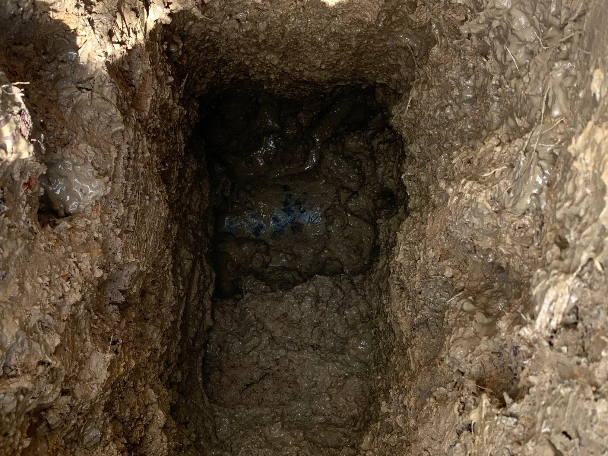
QL-A: The highest level available, this includes using a hydro-vac rig to determine the precise horizontal and vertical position of underground utilities. After surveyed and mapped, plan and profile information are available for design decisions and justifications.